Mapped areas
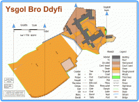
Bro Ddyfi
Near: Machynlleth
Bro Ddyfi is a mapped area of Ysgol Bro Ddyfi school, which is situated in Machynlleth.
Last edited: 30th Jan 12 ![]() Read more...
Read more...
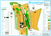
Broneirion
Near: Llandinam
Broneirion is a small residence with adjacent gardens that is owned by the Girl Guide Association. I
Last edited: 01st Jan 12 ![]() Read more...
Read more...
Carn Owen
Near: Ponterwyd
The area is part of an area that was selected initially for Croeso 2012 and mapped by Malcolm Campbell of Omaps. Unfortunately the lack of suitable parking ruled it out of contention for Croeso.
Last edited: 11th Jun 12 ![]() Read more...
Read more...
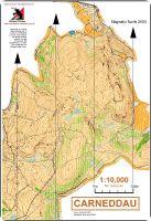
Carneddau
Near:
The Carneddau situated between Builth Wells and Howey.
Last edited: 18th Dec 18 ![]() Read more...
Read more...
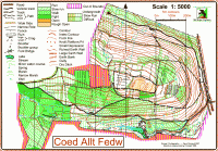
Coed Allt Fedw
Near: Aberystwyth
Allt Fedw or ‘Birchgrove’ is a typical Welsh mixed woodland, with an open area around the hill fort at the top of the wood. Some of the woodland is well thinned and some is less so. Most is steep, although there are plenty of nice tracks, well designed to help you tackle the contours.
Last edited: 12th Nov 11 ![]() Read more...
Read more...
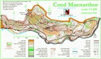
Coed Maenarthur
Near: Pont-rhyd-y-groes
Steep Forestry Commission woodland with crags and contour features in abundance
Last edited: 12th Nov 11 ![]() Read more...
Read more...
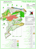
Ffridd Mathrafal
Near: Llanfair Caereinion
This is a Forestry Commission plantation with some very runnable bits and some areas of rough terrain (bramble bashers advised – but not like the man-eating brambles of Allt Fedw!) and a network of gravel forest roads and paths.
Last edited: 11th Nov 11 ![]() Read more...
Read more...
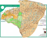
Gwanas
Near: Dolgellau
Gwanas is near Dogellau just off the junction of the A470 and A487.
Last edited: 05th May 15 ![]() Read more...
Read more...
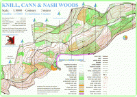
Nash Woods
Near: Presteigne
The terrain is mainly wooded with conifer and deciduous trees situated on a hill which runs the length of the area, with steep sections in places. The ridge of the hill runs west to east with the north side in Wales and the south side in England. The conifer areas are covered in brashings (small cut branches), which makes running difficult; the deciduous areas have varying degrees of undergrowth. The area has a number of forestry tracks and numerous paths some indistinct.
Last edited: 01st Jan 12 ![]() Read more...
Read more...
Penglais map
Near: Aberyswyth
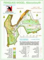
This is the map of Parc Natur Penglais situated opposite Aberystwyth University
Last edited: 09th Nov 19 ![]() Read more...
Read more...
Ynyslas
Near: Borth Ceredigion
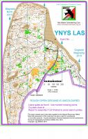
Ynyslas is a beautiful area of sand dunes and beach situated on the coast next to the Aberdyfi estuary
Last edited: 22nd Jan 22 ![]() Read more...
Read more...
