Nant y Arian 2018
Date of event: Sun 28th Jan 2018
Level of event: Regional (C)
Nearest town: Ponterwyd
Results
All the Courses will start and finish within the forest. Nant yr Arian is a long established orienteering area and the clear felling that has taken place over the years, means that there are many open patches within the forest. These help to give even better views, with many opportunities to view Plymlimon, as well as the Irish Sea. The event extends into an open area known as Esgair Gorlan, adjacent to the eastern side of the forest.
As well as the attraction of the event, this is a fantastic location - with Forest Visitor Centre, Walks with stunning views, Café, Toilets and Red Kite feeding at 2.0pm.
Terrain
Most of the running on shorter courses will be on paths, and this area is very suitable for beginners. However, there will still be plenty of challenge on the longer courses, for the more experienced Orienteers.

Location:
- Nearest town: Ponterwyd
- Grid Ref: SN719813
- Postcode:
- Latitude: 52.41505
- Longitude: -3.88577
- Google Map (aerial) - Bing Map (OS)
Officials:
- Planner: Robert Griffiths
- Organiser: Mike Kay & Gabriella Walsh
- Controller: Kate O'Sullivan
Info for dog owners
Dogs allowed under control (sheep will be off the open Esgair Gorlan before the event)
Facilities
Facilities are available at the Visitor Centre Cafe adjacent to carpark.
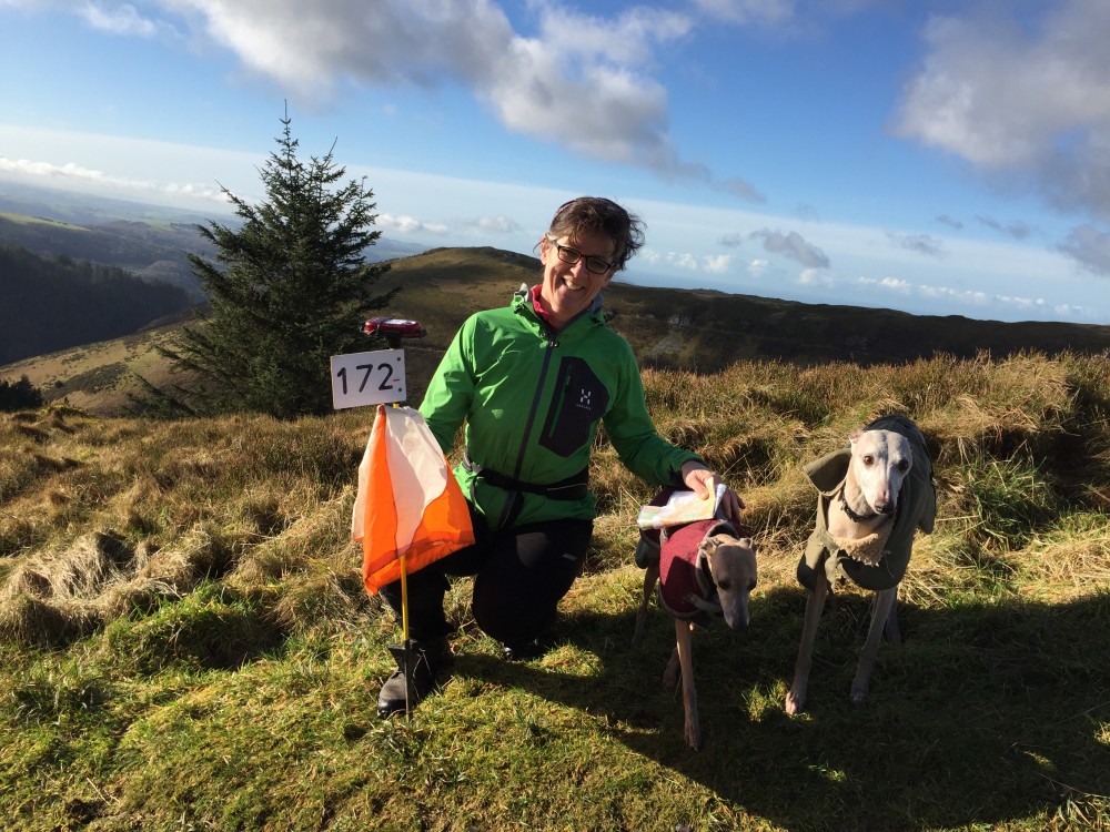
Image Gallery
Click the image for a larger version.
Please note: when entering our events your name may appear in the results section of this website or in newspaper reports.
Read our privacy policy to see how we look after your personal data.
Posted by Terry Smith