Welsh Orienteering Championships Weekend Newborough Forest, Anglesey 3rd & 4th March 2018
Date of event: Sat 03rd Mar 2018
Level of event: Regional (C)
Nearest town: Newborough
“Newborough Forest”, a newly revised map for the event, on intricate, mostly runnable, forested sand dunes, but unusual for sand dunes, the area also has a rocky ridge, with steep crags. The area is a working woodland of Natural Resources Wales (NRW have taken over forestry responsibility in Wales), as well as a very popular outdoor area. It is bounded by an excellent beach with views over to Snowdonia and the Llyn Peninsula. Map scale 1:7,500, with contours at 2.5m. Different areas of the same map will be used for the two days. The event centre is the same for both days.
Please refer to Downloadable Documents, for details of entries, courses, directions etc.

Location:
- Nearest town: Newborough
- Grid Ref: SH406635.
- Postcode: LL61 6SG
- Latitude: 53.14422
- Longitude: -4.38507
- Google Map (aerial) - Bing Map (OS)
Officials:
- Planner: Planners: Jim Wood, ERYRI (Welsh League), and Bill Teahan, ERYRI (Welsh Champs), Bill also completed the map updates,
- Organiser: Organiser: Ian Jones, ERYRI (07484 758466, jones.tynant@btinternet.com)
- Controller: Controllers: Clive Richardson, WRE (Welsh League), and Richard Lewis, WRE (Welsh Champs).
Info for dog owners
Welcome, but under control, and kept away from runners in full flight.
Downloadable Documents
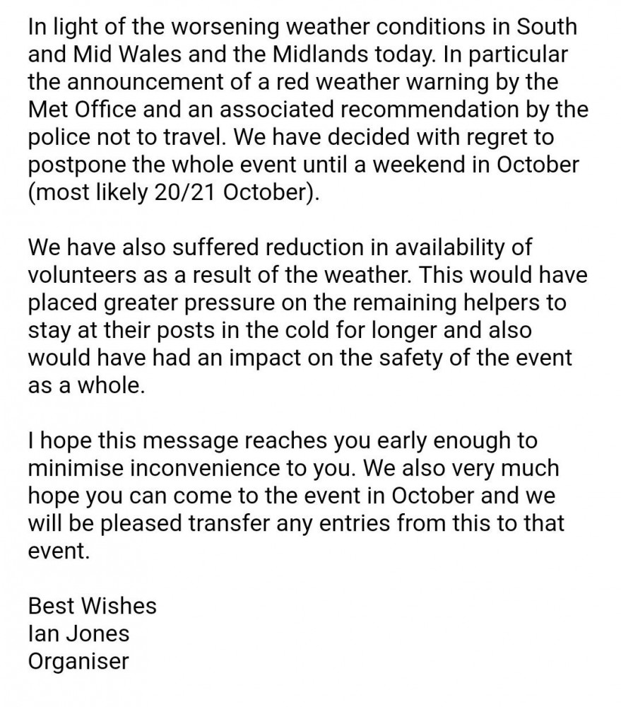
Event Postponed to October due to extreme weather ,
Image Gallery
Click the image for a larger version.
Please note: when entering our events your name may appear in the results section of this website or in newspaper reports.
Read our privacy policy to see how we look after your personal data.
Posted by Terry Smith